Punjab's geography mostly consists of the alluvial plain of the Indus River and its four major tributaries in Pakistan, the Jhelum, Chenab, Ravi, and Sutlej rivers. There are several mountainous regions, including the Sulaiman Mountains in the southwest part of the province, and Margalla Hills, Salt Range, and Pothohar Plateau in the north. Agriculture is the chief source of income and employment in Punjab; wheat and cotton are the principal crops

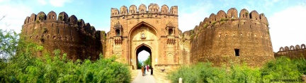 RuhatasFort (October2015)
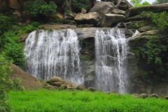 NarrarWaterfallnearKahuta (August2014)
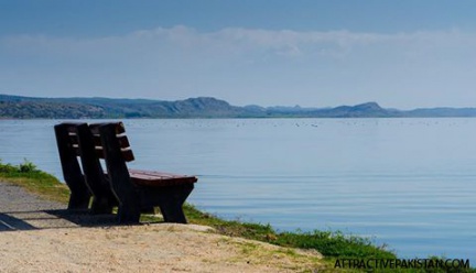 Uchali Lake (2016)
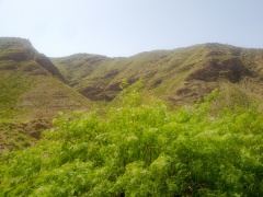 towards Fort Monroo (May 2012)
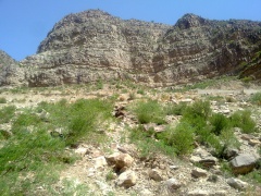 towards Fort Monroo (May 2012)
 towards Fort Monroo (May 2012)
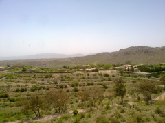 Fort Monroo (May 2015)
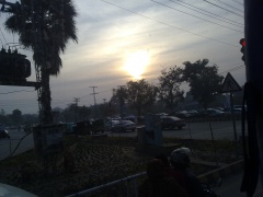 Lahore (February 2012)
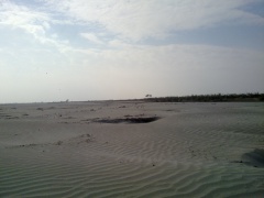 Sindh River Chachran Sharif (February 2012)
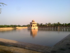 Hiran Minar (April 2011)
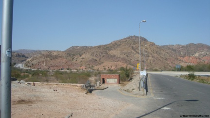 start of Salt Range (February 2012)
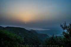 Phulwari Bangla Soon Valley (August 2014)
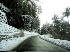 Bhurbun to Murree (January 2012)
 Derawar Fort (December 2014)
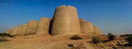 Derawar Fort (December 2014)